Derelict land adjacent to former Ely Paper Mill, Cardiff
Introduction
The photograph on this page of Derelict land adjacent to former Ely Paper Mill, Cardiff by Jaggery as part of the Geograph project.
The Geograph project started in 2005 with the aim of publishing, organising and preserving representative images for every square kilometre of Great Britain, Ireland and the Isle of Man.

There are currently over 7.5m images from over 14,400 individuals and you can help contribute to the project by visiting https://www.geograph.org.uk
Derelict land adjacent to former Ely Paper Mill, Cardiff
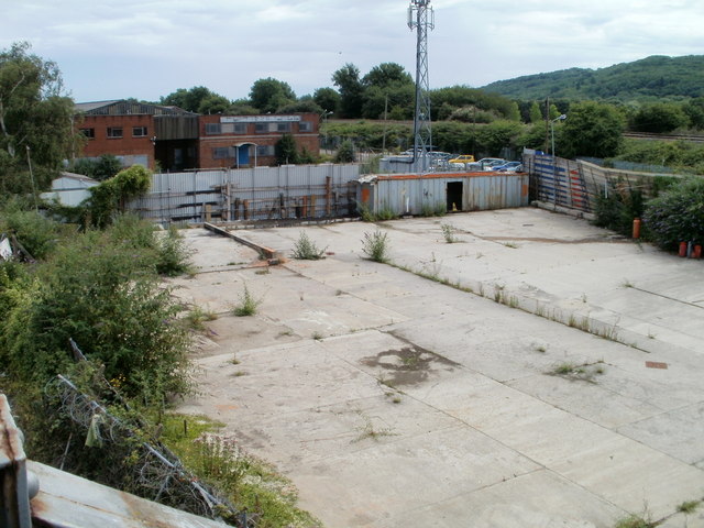
Image: © Jaggery Taken: 22 Jul 2010
This area of land is in a small triangle created by two sets of railway lines. It is near the west side of Paper Mill Road. The use of the vanished building which once stood here was probably connected with the mill, which closed in 1999 and has since been demolished. Formerly, access to the mill was via a now blocked-off road http://www.geograph.org.uk/photo/1981977 under a railway bridge.
Images are licensed for reuse under creativecommons.org/licenses/by-sa/2.0
Image Location
Latitude
51.482858
Longitude
-3.224036