Junction of Rush Green Lane and Downfield Road
Introduction
The photograph on this page of Junction of Rush Green Lane and Downfield Road by Rob Candlish as part of the Geograph project.
The Geograph project started in 2005 with the aim of publishing, organising and preserving representative images for every square kilometre of Great Britain, Ireland and the Isle of Man.

There are currently over 7.5m images from over 14,400 individuals and you can help contribute to the project by visiting https://www.geograph.org.uk
Junction of Rush Green Lane and Downfield Road
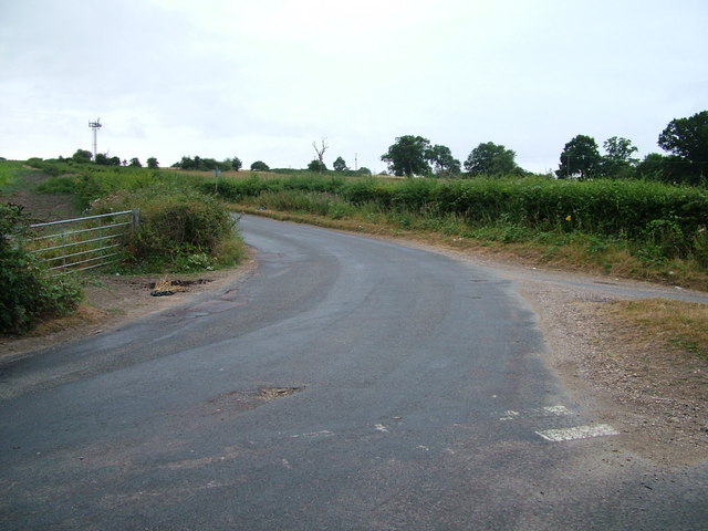
Image: © Rob Candlish Taken: 26 Jul 2010
The road markings on this junction (which are only just visible) are at variance with the traffic sign in Downfield Road on the other side of the junction which tells approaching drivers to give way.
Images are licensed for reuse under creativecommons.org/licenses/by-sa/2.0
Image Location
Latitude
51.796697
Longitude
-0.040411