Junction of Vann Lane and Upper Vann Lane
Introduction
The photograph on this page of Junction of Vann Lane and Upper Vann Lane by Dave Spicer as part of the Geograph project.
The Geograph project started in 2005 with the aim of publishing, organising and preserving representative images for every square kilometre of Great Britain, Ireland and the Isle of Man.

There are currently over 7.5m images from over 14,400 individuals and you can help contribute to the project by visiting https://www.geograph.org.uk
Junction of Vann Lane and Upper Vann Lane
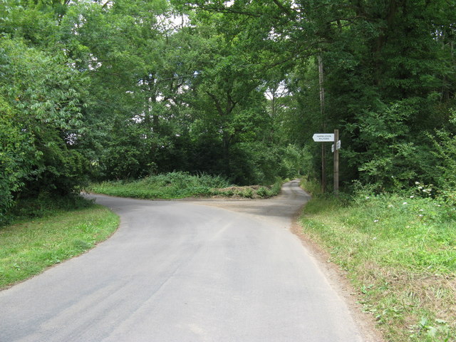
Image: © Dave Spicer Taken: 24 Jul 2010
A year on since Image and a new signpost has been erected, along with several others around Hambledon.
Images are licensed for reuse under creativecommons.org/licenses/by-sa/2.0
Image Location


Leaflet Map data © OpenStreetMap
Latitude
51.131512
Longitude
-0.597524