Church Street, Ware
Introduction
The photograph on this page of Church Street, Ware by Rob Candlish as part of the Geograph project.
The Geograph project started in 2005 with the aim of publishing, organising and preserving representative images for every square kilometre of Great Britain, Ireland and the Isle of Man.

There are currently over 7.5m images from over 14,400 individuals and you can help contribute to the project by visiting https://www.geograph.org.uk
Church Street, Ware
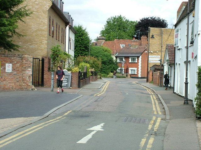
Image: © Rob Candlish Taken: 25 Jul 2010
View from just outside Tesco's unloading bay. Articulated lorries with special short trailers have to be used to make deliveries to the Ware branch. Church Street turns left in front of the building with the white corner stones. Crib Street is to the right there. The two buildings on the left stand on the site of the area's first purpose built bus garage, which closed in 1934 but survived in other uses for more than sixty years.
Images are licensed for reuse under creativecommons.org/licenses/by-sa/2.0
Image Location
Latitude
51.811837
Longitude
-0.03163