New Road, Ware
Introduction
The photograph on this page of New Road, Ware by Rob Candlish as part of the Geograph project.
The Geograph project started in 2005 with the aim of publishing, organising and preserving representative images for every square kilometre of Great Britain, Ireland and the Isle of Man.

There are currently over 7.5m images from over 14,400 individuals and you can help contribute to the project by visiting https://www.geograph.org.uk
New Road, Ware
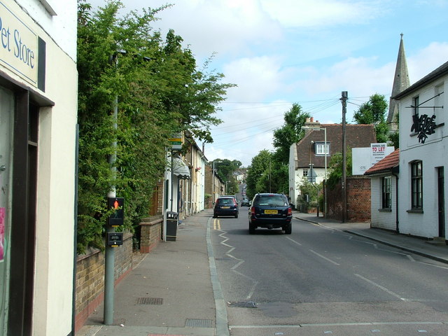
Image: © Rob Candlish Taken: 25 Jul 2010
New Road seen from its junction with East Street and with Musley Hill rising in the background. The spire on the right belongs to Christ Church. The sign on the white building on the right is an amusing play on words: it reads "Ware House".
Images are licensed for reuse under creativecommons.org/licenses/by-sa/2.0
Image Location
Latitude
51.812512
Longitude
-0.028989