Hitchin: The former Grove Mill
Introduction
The photograph on this page of Hitchin: The former Grove Mill by Nigel Cox as part of the Geograph project.
The Geograph project started in 2005 with the aim of publishing, organising and preserving representative images for every square kilometre of Great Britain, Ireland and the Isle of Man.

There are currently over 7.5m images from over 14,400 individuals and you can help contribute to the project by visiting https://www.geograph.org.uk
Hitchin: The former Grove Mill
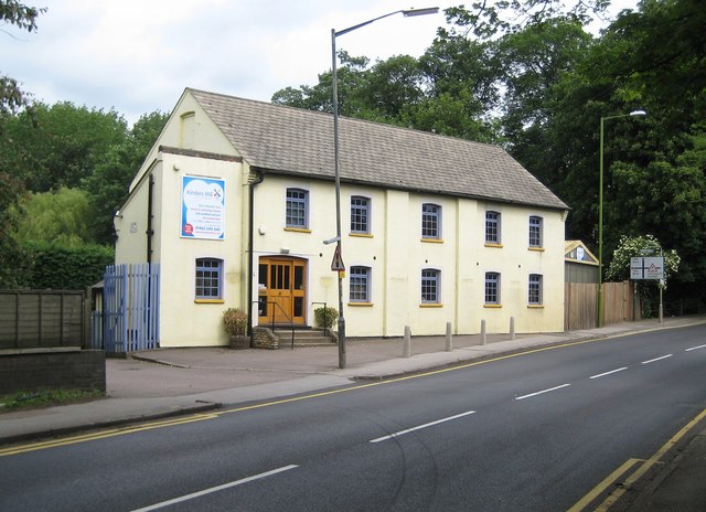
Image: © Nigel Cox Taken: 13 Jun 2010
This former corn mill was built at the confluence of the Rivers Hiz and Purwell, and was once possibly known as Burnt Mill. Victorian Ordnance Survey maps show Grove Mill and a large building called Grove House, since demolished, a short distance away up the hill towards Cadwell Lane. The mill has since been converted and is in use today as a nursery, Kinders Mill Nursery http://www.kindersmill.co.uk/page_viewer.asp?page=Home&pid=1
Images are licensed for reuse under creativecommons.org/licenses/by-sa/2.0
Image Location
Latitude
51.959874
Longitude
-0.267927