Cast iron mile post in Great Amwell
Introduction
The photograph on this page of Cast iron mile post in Great Amwell by Rob Candlish as part of the Geograph project.
The Geograph project started in 2005 with the aim of publishing, organising and preserving representative images for every square kilometre of Great Britain, Ireland and the Isle of Man.

There are currently over 7.5m images from over 14,400 individuals and you can help contribute to the project by visiting https://www.geograph.org.uk
Cast iron mile post in Great Amwell
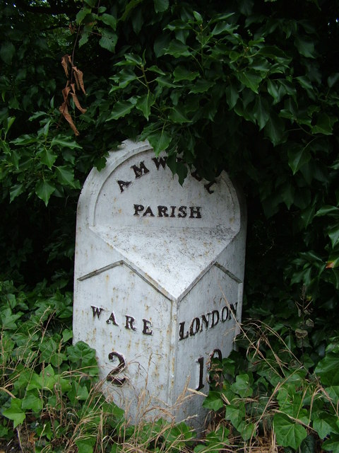
Image: © Rob Candlish Taken: 25 Jul 2010
An old Wadesmill Turnpike Trust cast iron mile post almost lost in vegetation at the junction of Gypsy Lane and Pepper Hill.
Images are licensed for reuse under creativecommons.org/licenses/by-sa/2.0
Image Location
Latitude
51.79046
Longitude
-0.017045