Eastern spur of The Moorings, Newport
Introduction
The photograph on this page of Eastern spur of The Moorings, Newport by Jaggery as part of the Geograph project.
The Geograph project started in 2005 with the aim of publishing, organising and preserving representative images for every square kilometre of Great Britain, Ireland and the Isle of Man.

There are currently over 7.5m images from over 14,400 individuals and you can help contribute to the project by visiting https://www.geograph.org.uk
Eastern spur of The Moorings, Newport
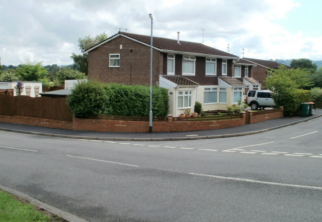
Image: © Jaggery Taken: 22 Jul 2010
The Moorings is a residential street extending eastwards from Haisbro Avenue to Chichester Close, where the road bends in an arc from heading east to heading west. Near the eastern edge of the arc are a few houses, some of which are seen here. A few metres beyond the left edge of the view is the start of Chichester Close. http://www.geograph.org.uk/photo/1623008
Images are licensed for reuse under creativecommons.org/licenses/by-sa/2.0
Image Location
Latitude
51.603923
Longitude
-2.970264