B4555 road
Introduction
The photograph on this page of B4555 road by P L Chadwick as part of the Geograph project.
The Geograph project started in 2005 with the aim of publishing, organising and preserving representative images for every square kilometre of Great Britain, Ireland and the Isle of Man.

There are currently over 7.5m images from over 14,400 individuals and you can help contribute to the project by visiting https://www.geograph.org.uk
B4555 road
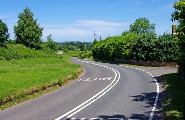
Image: © P L Chadwick Taken: 21 Jun 2010
Opposite the fingerpost in the distance, is a lane going to Chelmarsh Reservoir and some small villages. The nearest places of any size on this road are Bridgnorth and Highley.
Images are licensed for reuse under creativecommons.org/licenses/by-sa/2.0
Image Location
Latitude
52.477726
Longitude
-2.401021