Bus shelter on B4555 road
Introduction
The photograph on this page of Bus shelter on B4555 road by P L Chadwick as part of the Geograph project.
The Geograph project started in 2005 with the aim of publishing, organising and preserving representative images for every square kilometre of Great Britain, Ireland and the Isle of Man.

There are currently over 7.5m images from over 14,400 individuals and you can help contribute to the project by visiting https://www.geograph.org.uk
Bus shelter on B4555 road
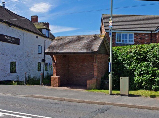
Image: © P L Chadwick Taken: 21 Jun 2010
This is a brick built standing only bus shelter, served by buses running on the B4555 road through Chelmarsh. To its left can be seen The Bull's Head Inn. To the right (out of the picture) is the junction with Bakehouse Lane. There is a lot of new private housing along that road, although looking at the houses, probably not a great many of the residents rely on the bus.
Images are licensed for reuse under creativecommons.org/licenses/by-sa/2.0
Image Location
Latitude
52.484077
Longitude
-2.410356