Site of the Stanhope Silkstone Main Colliery
Introduction
The photograph on this page of Site of the Stanhope Silkstone Main Colliery by Jonathan Clitheroe as part of the Geograph project.
The Geograph project started in 2005 with the aim of publishing, organising and preserving representative images for every square kilometre of Great Britain, Ireland and the Isle of Man.

There are currently over 7.5m images from over 14,400 individuals and you can help contribute to the project by visiting https://www.geograph.org.uk
Site of the Stanhope Silkstone Main Colliery
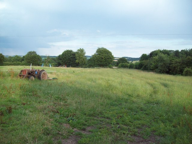
Image: © Jonathan Clitheroe Taken: 21 Jul 2010
Public footpath close to the Bagger Wood picnic site. This is also the site of the Stanhope Silkstone Main Colliery which closed in 1875. The freight railway line also ran from this point joining the Woodhead line south of Thurgoland. A chap in the nearby Monkey pub informed me that the pit was also known locally as Levy Tag although I was later informed that this was actually the alternative name of the Wentworth Silkstone Colliery which was located further north on the opposite side of Bagger Wood.
Images are licensed for reuse under creativecommons.org/licenses/by-sa/2.0
Image Location
Latitude
53.515787
Longitude
-1.543768