Heyville Croft Kenilworth
Introduction
The photograph on this page of Heyville Croft Kenilworth by Nigel Mykura as part of the Geograph project.
The Geograph project started in 2005 with the aim of publishing, organising and preserving representative images for every square kilometre of Great Britain, Ireland and the Isle of Man.

There are currently over 7.5m images from over 14,400 individuals and you can help contribute to the project by visiting https://www.geograph.org.uk
Heyville Croft Kenilworth
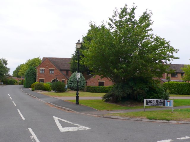
Image: © Nigel Mykura Taken: 18 Jul 2010
This housing estate was part of the huge housing development on the eastern side of Kenilworth that took place in 80's and 90's. This is the view from the junction of Glasshouse Lane and Ashow Lane.
Images are licensed for reuse under creativecommons.org/licenses/by-sa/2.0
Image Location
Latitude
52.340028
Longitude
-1.556692