The parish of Tilty, Essex
Introduction
The photograph on this page of The parish of Tilty, Essex by Derek Voller as part of the Geograph project.
The Geograph project started in 2005 with the aim of publishing, organising and preserving representative images for every square kilometre of Great Britain, Ireland and the Isle of Man.

There are currently over 7.5m images from over 14,400 individuals and you can help contribute to the project by visiting https://www.geograph.org.uk
The parish of Tilty, Essex
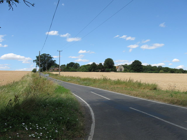
Image: © Derek Voller Taken: 21 Jul 2010
The tiny scattered community of farms and dwellings that is Tilty was once the site of a thriving Cistercian monastery, the remains of which are still visible. They lie in a pasture adjacent to the fine 13th century church of St Mary the Virgin, showing prominently in this photograph taken from the road junction to the East of the hamlet. SeeImage
Images are licensed for reuse under creativecommons.org/licenses/by-sa/2.0
Image Location
Latitude
51.913771
Longitude
0.32529