Reclamation Project Prenton
Introduction
The photograph on this page of Reclamation Project Prenton by Peter Craine as part of the Geograph project.
The Geograph project started in 2005 with the aim of publishing, organising and preserving representative images for every square kilometre of Great Britain, Ireland and the Isle of Man.

There are currently over 7.5m images from over 14,400 individuals and you can help contribute to the project by visiting https://www.geograph.org.uk
Reclamation Project Prenton
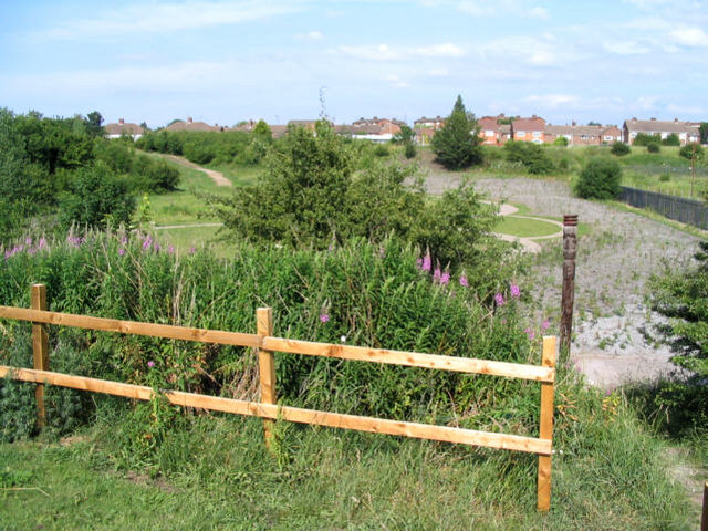
Image: © Peter Craine Taken: 6 Jul 2006
I was out Geographing and came across this, which I knew nothing about. The right hand portion looks like a water feature on the photo, but it's actually shrubs recently planted in gravelly soil. There is also a totem pole in the foreground - it's not a drainpipe! On the right hand side, out of sight, is a large electricity transformer station.
Images are licensed for reuse under creativecommons.org/licenses/by-sa/2.0
Image Location
Latitude
53.370639
Longitude
-3.061054