Channels Brook - culvert under the A264
Introduction
The photograph on this page of Channels Brook - culvert under the A264 by Robin Webster as part of the Geograph project.
The Geograph project started in 2005 with the aim of publishing, organising and preserving representative images for every square kilometre of Great Britain, Ireland and the Isle of Man.

There are currently over 7.5m images from over 14,400 individuals and you can help contribute to the project by visiting https://www.geograph.org.uk
Channels Brook - culvert under the A264
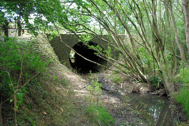
Image: © Robin Webster Taken: 21 Jul 2010
A viewpoint not possible at wetter times, but in late July the flow was minimal. The culvert was not quite dry enough to walk through with ordinary footwear.
Images are licensed for reuse under creativecommons.org/licenses/by-sa/2.0
Image Location
Latitude
51.087357
Longitude
-0.302363