High-rise flats, Brentford
Introduction
The photograph on this page of High-rise flats, Brentford by Derek Harper as part of the Geograph project.
The Geograph project started in 2005 with the aim of publishing, organising and preserving representative images for every square kilometre of Great Britain, Ireland and the Isle of Man.

There are currently over 7.5m images from over 14,400 individuals and you can help contribute to the project by visiting https://www.geograph.org.uk
High-rise flats, Brentford
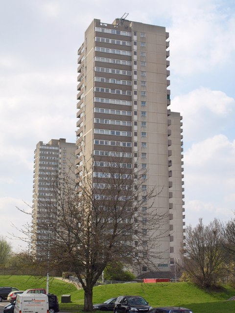
Image: © Derek Harper Taken: 15 Apr 2010
Fraser House, one of six blocks on the estate along Green Dragon Lane, with Harvey House largely hidden on the right, and Maddsley House beyond.
Images are licensed for reuse under creativecommons.org/licenses/by-sa/2.0
Image Location
Latitude
51.489441
Longitude
-0.2946