Route of proposed new footpath
Introduction
The photograph on this page of Route of proposed new footpath by Robin Webster as part of the Geograph project.
The Geograph project started in 2005 with the aim of publishing, organising and preserving representative images for every square kilometre of Great Britain, Ireland and the Isle of Man.

There are currently over 7.5m images from over 14,400 individuals and you can help contribute to the project by visiting https://www.geograph.org.uk
Route of proposed new footpath
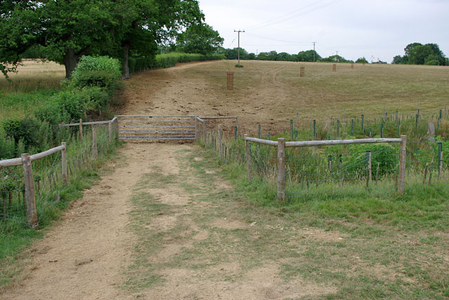
Image: © Robin Webster Taken: 20 Jul 2010
Included as a bonus in the accepted proposal for a diversion of FP1425 in the neighbourhood of Geerings was an additional path linking FP1425 to the roughly parallel footpath to the north. The route passes through this gate and follows the field edge on the left. The view is taken in the period between the order being made, and being confirmed. So far, no signs have appeared.
Images are licensed for reuse under creativecommons.org/licenses/by-sa/2.0
Image Location
Latitude
51.102304
Longitude
-0.344451