Gloster Drive seen from Manor Road
Introduction
The photograph on this page of Gloster Drive seen from Manor Road by John Brightley as part of the Geograph project.
The Geograph project started in 2005 with the aim of publishing, organising and preserving representative images for every square kilometre of Great Britain, Ireland and the Isle of Man.

There are currently over 7.5m images from over 14,400 individuals and you can help contribute to the project by visiting https://www.geograph.org.uk
Gloster Drive seen from Manor Road
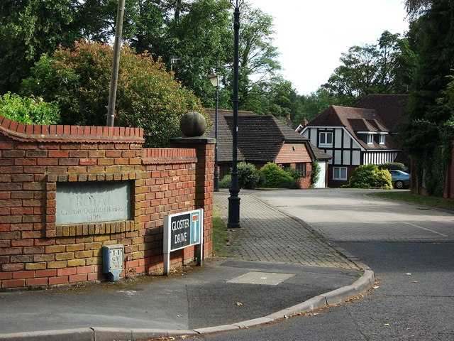
Image: © John Brightley Taken: 17 Jul 2010
According to the plaque, the houses in this road were built in 1989 by Clarke Quality Homes, and their name for the development was 'Mount Royal'.
Images are licensed for reuse under creativecommons.org/licenses/by-sa/2.0
Image Location
Latitude
52.351069
Longitude
-1.576401