Bridleway to Wakeshall Farm
Introduction
The photograph on this page of Bridleway to Wakeshall Farm by Bob Jones as part of the Geograph project.
The Geograph project started in 2005 with the aim of publishing, organising and preserving representative images for every square kilometre of Great Britain, Ireland and the Isle of Man.

There are currently over 7.5m images from over 14,400 individuals and you can help contribute to the project by visiting https://www.geograph.org.uk
Bridleway to Wakeshall Farm
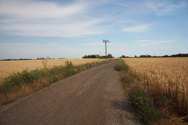
Image: © Bob Jones Taken: 19 Jul 2010
This track, also a bridleway, leads eastwards towards Wakeshall Farm and Belchamp St Paul from the minor road between Ovington and Tilbury Juxta Clare.
Images are licensed for reuse under creativecommons.org/licenses/by-sa/2.0
Image Location


Leaflet Map data © OpenStreetMap
Latitude
52.044007
Longitude
0.578947