Harvested Cornfield
Introduction
The photograph on this page of Harvested Cornfield by Martin Dawes as part of the Geograph project.
The Geograph project started in 2005 with the aim of publishing, organising and preserving representative images for every square kilometre of Great Britain, Ireland and the Isle of Man.

There are currently over 7.5m images from over 14,400 individuals and you can help contribute to the project by visiting https://www.geograph.org.uk
Harvested Cornfield
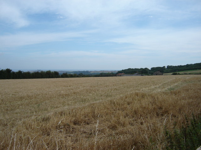
Image: © Martin Dawes Taken: 19 Aug 2009
From the lane between Ugglebarnby and Sneaton, the rooftops of Plainside Farm can be seen over the brow of the field to the right and Whitby abbey can be seen over the trees to the left.
Images are licensed for reuse under creativecommons.org/licenses/by-sa/2.0
Image Location
Latitude
54.455107
Longitude
-0.637223