Nether Edge back gardens
Introduction
The photograph on this page of Nether Edge back gardens by Christopher Hilton as part of the Geograph project.
The Geograph project started in 2005 with the aim of publishing, organising and preserving representative images for every square kilometre of Great Britain, Ireland and the Isle of Man.

There are currently over 7.5m images from over 14,400 individuals and you can help contribute to the project by visiting https://www.geograph.org.uk
Nether Edge back gardens
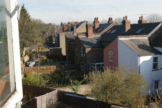
Image: © Christopher Hilton Taken: 13 Apr 2010
The backs of houses on Steade Road, seen from an attic window on Alcester Road.
Images are licensed for reuse under creativecommons.org/licenses/by-sa/2.0
Image Location
Latitude
53.362004
Longitude
-1.480647