Lichfield Grove
Introduction
The photograph on this page of Lichfield Grove by Martin Addison as part of the Geograph project.
The Geograph project started in 2005 with the aim of publishing, organising and preserving representative images for every square kilometre of Great Britain, Ireland and the Isle of Man.

There are currently over 7.5m images from over 14,400 individuals and you can help contribute to the project by visiting https://www.geograph.org.uk
Lichfield Grove
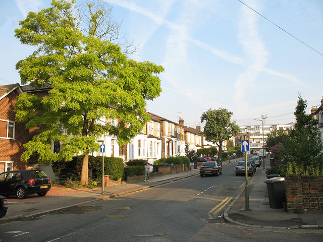
Image: © Martin Addison Taken: 1 Jul 2006
Terraced housing in the early morning sunshine viewed from the junction with Wootton Grove. Lichfield grove forms part of a oneway system with the adjacent Station Road. Visible in the distance are office blocks on Regents Park Road.
Images are licensed for reuse under creativecommons.org/licenses/by-sa/2.0
Image Location
Latitude
51.599436
Longitude
-0.193741