The Cleveland Way near Whin Hill
Introduction
The photograph on this page of The Cleveland Way near Whin Hill by Philip Barker as part of the Geograph project.
The Geograph project started in 2005 with the aim of publishing, organising and preserving representative images for every square kilometre of Great Britain, Ireland and the Isle of Man.

There are currently over 7.5m images from over 14,400 individuals and you can help contribute to the project by visiting https://www.geograph.org.uk
The Cleveland Way near Whin Hill
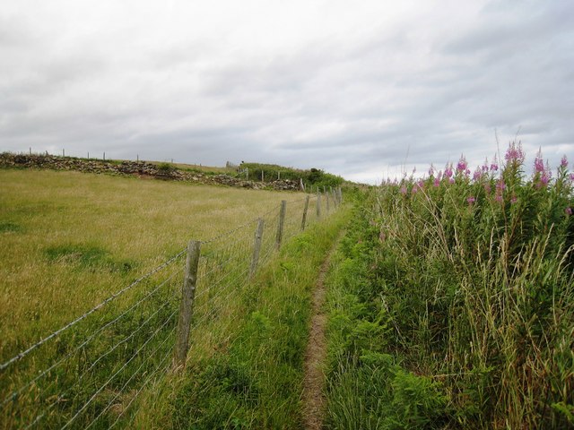
Image: © Philip Barker Taken: 18 Jul 2010
This photograph shows a view of a section of the Cleveland Way long-distance footpath as it makes its way along the North-Eastern coastline near Whin Hill. The picture was taken looking in a north-north-westerly direction towards War Dike Lane.
Images are licensed for reuse under creativecommons.org/licenses/by-sa/2.0
Image Location
Latitude
54.377925
Longitude
-0.459795