The lane from Stone at Lower Stone
Introduction
The photograph on this page of The lane from Stone at Lower Stone by Robin Stott as part of the Geograph project.
The Geograph project started in 2005 with the aim of publishing, organising and preserving representative images for every square kilometre of Great Britain, Ireland and the Isle of Man.

There are currently over 7.5m images from over 14,400 individuals and you can help contribute to the project by visiting https://www.geograph.org.uk
The lane from Stone at Lower Stone
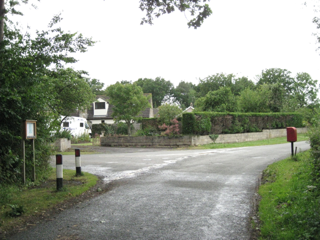
Image: © Robin Stott Taken: 16 Jul 2010
The postbox number is GL13 69. The noticeboard is for Ham and Stone Parish Council. Moorslade Lane, left, goes towards Falfield.
Images are licensed for reuse under creativecommons.org/licenses/by-sa/2.0
Image Location
Latitude
51.649229
Longitude
-2.475615