Woody Island
Introduction
The photograph on this page of Woody Island by william as part of the Geograph project.
The Geograph project started in 2005 with the aim of publishing, organising and preserving representative images for every square kilometre of Great Britain, Ireland and the Isle of Man.

There are currently over 7.5m images from over 14,400 individuals and you can help contribute to the project by visiting https://www.geograph.org.uk
Woody Island
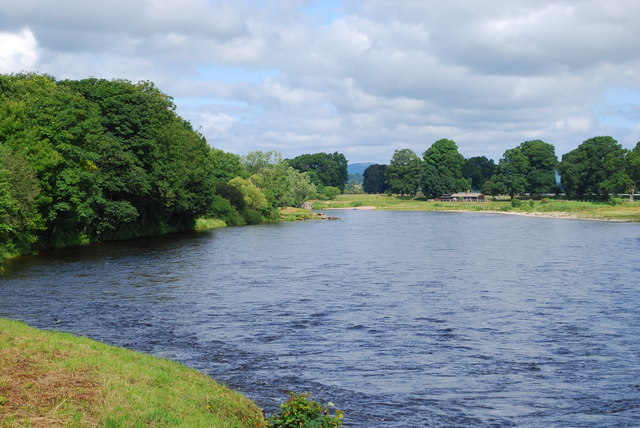
Image: © william Taken: 13 Jul 2010
On the left bank of the Tay is Woody Island, and on the right is Scone Park.
Images are licensed for reuse under creativecommons.org/licenses/by-sa/2.0
Image Location
Latitude
56.419357
Longitude
-3.449482