Red Lion Cross Roads
Introduction
The photograph on this page of Red Lion Cross Roads by Brian Shaw as part of the Geograph project.
The Geograph project started in 2005 with the aim of publishing, organising and preserving representative images for every square kilometre of Great Britain, Ireland and the Isle of Man.

There are currently over 7.5m images from over 14,400 individuals and you can help contribute to the project by visiting https://www.geograph.org.uk
Red Lion Cross Roads
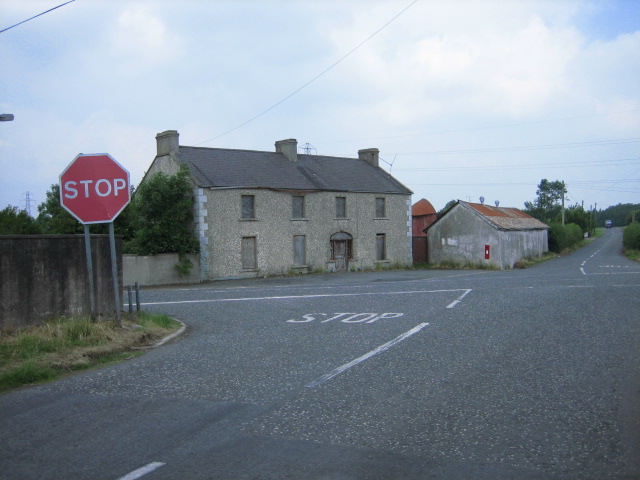
Image: © Brian Shaw Taken: 5 Jul 2006
The main road is the B177 Loughgall (to the left) to Portadown road. Perhaps the boarded-up building opposite was the Red Lion!
Images are licensed for reuse under creativecommons.org/licenses/by-sa/2.0
Image Location
Latitude
54.412313
Longitude
-6.545246