Bridges Methodist Church
Introduction
The photograph on this page of Bridges Methodist Church by Derek Harper as part of the Geograph project.
The Geograph project started in 2005 with the aim of publishing, organising and preserving representative images for every square kilometre of Great Britain, Ireland and the Isle of Man.

There are currently over 7.5m images from over 14,400 individuals and you can help contribute to the project by visiting https://www.geograph.org.uk
Bridges Methodist Church
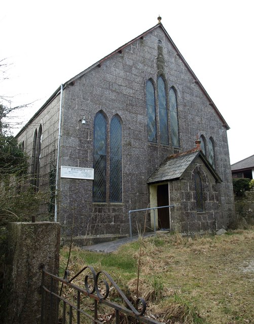
Image: © Derek Harper Taken: 13 Mar 2010
A rather grim view of the granite church, built about 1900 http://www.britishlistedbuildings.co.uk/en-70893-bridges-methodist-church-luxulyan .
Images are licensed for reuse under creativecommons.org/licenses/by-sa/2.0
Image Location
Latitude
50.390993
Longitude
-4.744836