Westerton of Stracathro
Introduction
The photograph on this page of Westerton of Stracathro by Andrew Wood as part of the Geograph project.
The Geograph project started in 2005 with the aim of publishing, organising and preserving representative images for every square kilometre of Great Britain, Ireland and the Isle of Man.

There are currently over 7.5m images from over 14,400 individuals and you can help contribute to the project by visiting https://www.geograph.org.uk
Westerton of Stracathro
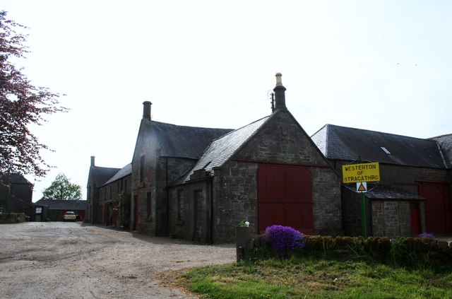
Image: © Andrew Wood Taken: 21 May 2010
A fairly large farm steading at Stracathro.
Images are licensed for reuse under creativecommons.org/licenses/by-sa/2.0
Image Location
Latitude
56.773306
Longitude
-2.624509