No Place Hill, Broadhempston
Introduction
The photograph on this page of No Place Hill, Broadhempston by Robin Stott as part of the Geograph project.
The Geograph project started in 2005 with the aim of publishing, organising and preserving representative images for every square kilometre of Great Britain, Ireland and the Isle of Man.

There are currently over 7.5m images from over 14,400 individuals and you can help contribute to the project by visiting https://www.geograph.org.uk
No Place Hill, Broadhempston
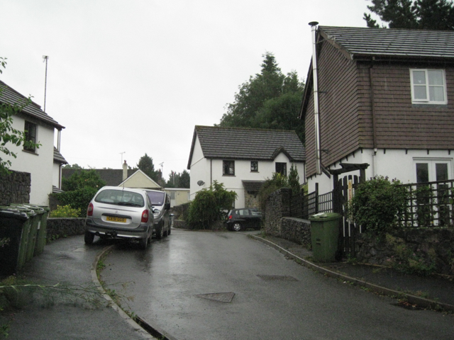
Image: © Robin Stott Taken: 15 Jul 2010
A small residential development at the eastern end of the village. I once visited a No Place in County Durham. It was a few streets of terraced houses, former miners' cottages, on a windswept hillside. I'm not sure if this is it Image
Images are licensed for reuse under creativecommons.org/licenses/by-sa/2.0
Image Location


Leaflet Map data © OpenStreetMap
Latitude
50.482556
Longitude
-3.681476