The old Rathfriland Road, Banbridge
Introduction
The photograph on this page of The old Rathfriland Road, Banbridge by Albert Bridge as part of the Geograph project.
The Geograph project started in 2005 with the aim of publishing, organising and preserving representative images for every square kilometre of Great Britain, Ireland and the Isle of Man.

There are currently over 7.5m images from over 14,400 individuals and you can help contribute to the project by visiting https://www.geograph.org.uk
The old Rathfriland Road, Banbridge
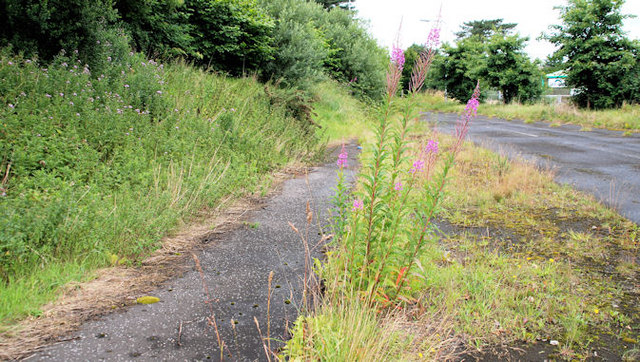
Image: © Albert Bridge Taken: 17 Jul 2010
A section of the road, abandoned after realignment of the Rathfriland Road for the building of the flyover Image across the bypass Image The view is towards the town.
Images are licensed for reuse under creativecommons.org/licenses/by-sa/2.0
Image Location
Latitude
54.344071
Longitude
-6.263011