Cemetery, Harmony
Introduction
The photograph on this page of Cemetery, Harmony by Martyn Harries as part of the Geograph project.
The Geograph project started in 2005 with the aim of publishing, organising and preserving representative images for every square kilometre of Great Britain, Ireland and the Isle of Man.

There are currently over 7.5m images from over 14,400 individuals and you can help contribute to the project by visiting https://www.geograph.org.uk
Cemetery, Harmony
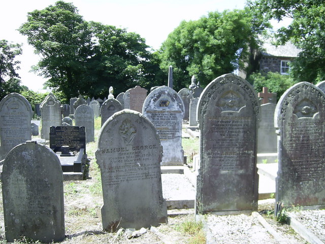
Image: © Martyn Harries Taken: 11 Jul 2010
The cemetery is located opposite Harmony Baptist Chapel. Most of the graves date from the 1800s to the 20th century.
Images are licensed for reuse under creativecommons.org/licenses/by-sa/2.0
Image Location


Leaflet Map data © OpenStreetMap
Latitude
52.002727
Longitude
-5.055728