Crownhill Road
Introduction
The photograph on this page of Crownhill Road by Michael Patterson as part of the Geograph project.
The Geograph project started in 2005 with the aim of publishing, organising and preserving representative images for every square kilometre of Great Britain, Ireland and the Isle of Man.

There are currently over 7.5m images from over 14,400 individuals and you can help contribute to the project by visiting https://www.geograph.org.uk
Crownhill Road
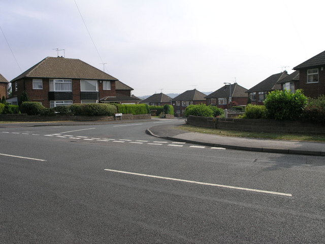
Image: © Michael Patterson Taken: 4 Jul 2006
Viewed from Bonet Lane, in the foreground, these 1960s(?) semi-detached houses lead the eye down the hill and around the corner. At which point the road joins the nearby A631.
Images are licensed for reuse under creativecommons.org/licenses/by-sa/2.0
Image Location
Latitude
53.40695
Longitude
-1.377737