High Quebec Farm
Introduction
The photograph on this page of High Quebec Farm by Martin Dawes as part of the Geograph project.
The Geograph project started in 2005 with the aim of publishing, organising and preserving representative images for every square kilometre of Great Britain, Ireland and the Isle of Man.

There are currently over 7.5m images from over 14,400 individuals and you can help contribute to the project by visiting https://www.geograph.org.uk
High Quebec Farm
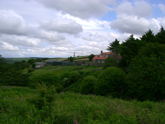
Image: © Martin Dawes Taken: 7 Jul 2009
In the tree lined valley in front of the farm runs Wash Beck.
Images are licensed for reuse under creativecommons.org/licenses/by-sa/2.0
Image Location


Leaflet Map data © OpenStreetMap
Latitude
54.426451
Longitude
-0.662683