Newport : corner of Clarence Street and St Michael Street, Pill
Introduction
The photograph on this page of Newport : corner of Clarence Street and St Michael Street, Pill by Jaggery as part of the Geograph project.
The Geograph project started in 2005 with the aim of publishing, organising and preserving representative images for every square kilometre of Great Britain, Ireland and the Isle of Man.

There are currently over 7.5m images from over 14,400 individuals and you can help contribute to the project by visiting https://www.geograph.org.uk
Newport : corner of Clarence Street and St Michael Street, Pill
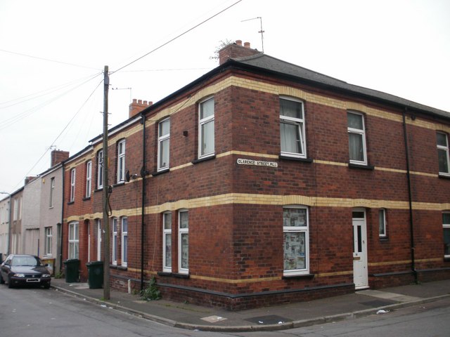
Image: © Jaggery Taken: 5 Oct 2009
The street name sign is a rare surviving example of the former practice of including Pill (the usual local shortening of Pillgwenlly) in street signs in this area of Newport.
Images are licensed for reuse under creativecommons.org/licenses/by-sa/2.0
Image Location
Latitude
51.575022
Longitude
-2.985522