Banwell Plain surrounding woodland
Introduction
The photograph on this page of Banwell Plain surrounding woodland by Michael Dennis Stagg as part of the Geograph project.
The Geograph project started in 2005 with the aim of publishing, organising and preserving representative images for every square kilometre of Great Britain, Ireland and the Isle of Man.

There are currently over 7.5m images from over 14,400 individuals and you can help contribute to the project by visiting https://www.geograph.org.uk
Banwell Plain surrounding woodland
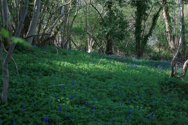
Image: © Michael Dennis Stagg Taken: 16 Apr 2009
Bluebells proliferate in the Spring on the crest of the very steep landslip and terrace, excavated and fort earthworks above which is open ground, below the forest ring grazing and arable of high quality land, thoroughly tilled
Images are licensed for reuse under creativecommons.org/licenses/by-sa/2.0
Image Location
Latitude
51.328472
Longitude
-2.846889