Farmland and view
Introduction
The photograph on this page of Farmland and view by Michael Dibb as part of the Geograph project.
The Geograph project started in 2005 with the aim of publishing, organising and preserving representative images for every square kilometre of Great Britain, Ireland and the Isle of Man.

There are currently over 7.5m images from over 14,400 individuals and you can help contribute to the project by visiting https://www.geograph.org.uk
Farmland and view
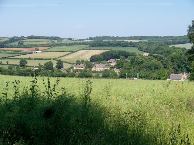
Image: © Michael Dibb Taken: 28 Jun 2010
From the edge of Lousehill plantation, this view looks across the valley to Temple Guiting. Behind the village, the land rises to Cutsdean Hill.
Images are licensed for reuse under creativecommons.org/licenses/by-sa/2.0
Image Location
Latitude
51.948805
Longitude
-1.872209