Grove Ferry Road and Grove Road Junction
Introduction
The photograph on this page of Grove Ferry Road and Grove Road Junction by David Anstiss as part of the Geograph project.
The Geograph project started in 2005 with the aim of publishing, organising and preserving representative images for every square kilometre of Great Britain, Ireland and the Isle of Man.

There are currently over 7.5m images from over 14,400 individuals and you can help contribute to the project by visiting https://www.geograph.org.uk
Grove Ferry Road and Grove Road Junction
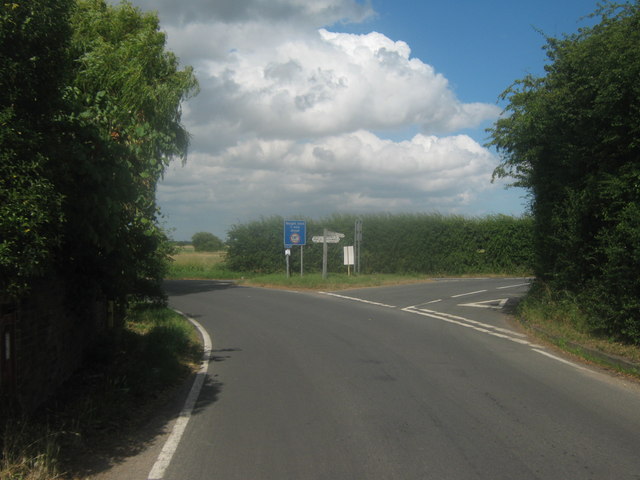
Image: © David Anstiss Taken: 11 Jul 2010
Grove Road from Wickhambreaux and Grove Hill becomes Grove Ferry Road (bending to the left) heading toward Grove Ferry Inn and the A28 Island Road. Grove Road also heads right towards Preston.
Images are licensed for reuse under creativecommons.org/licenses/by-sa/2.0
Image Location
Latitude
51.313682
Longitude
1.210863