Steps to footbridge, Crindau, Newport
Introduction
The photograph on this page of Steps to footbridge, Crindau, Newport by Jaggery as part of the Geograph project.
The Geograph project started in 2005 with the aim of publishing, organising and preserving representative images for every square kilometre of Great Britain, Ireland and the Isle of Man.

There are currently over 7.5m images from over 14,400 individuals and you can help contribute to the project by visiting https://www.geograph.org.uk
Steps to footbridge, Crindau, Newport
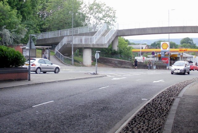
Image: © Jaggery Taken: 11 Jul 2010
Steps lead up to a footbridge across Malpas Road. The steps occupy land formerly crossed by the end of the road named Barrack Hill, at the junction with Malpas Road. Nowadays, the route of Barrack Hill extends to a roundabout adjacent to Queen's Hill.
Images are licensed for reuse under creativecommons.org/licenses/by-sa/2.0
Image Location
Latitude
51.596476
Longitude
-3.000424