The Dower House
Introduction
The photograph on this page of The Dower House by Bill Nicholls as part of the Geograph project.
The Geograph project started in 2005 with the aim of publishing, organising and preserving representative images for every square kilometre of Great Britain, Ireland and the Isle of Man.

There are currently over 7.5m images from over 14,400 individuals and you can help contribute to the project by visiting https://www.geograph.org.uk
The Dower House
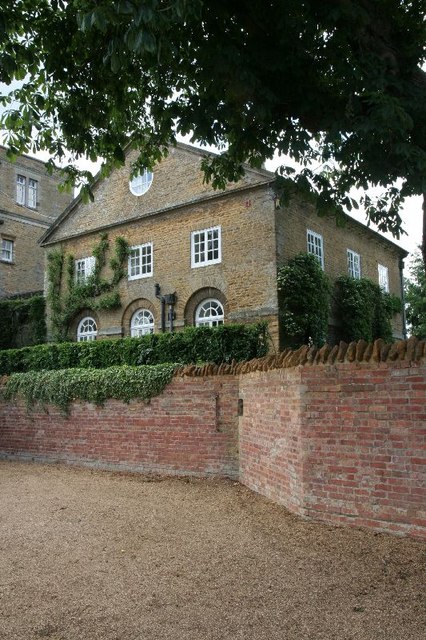
Image: © Bill Nicholls Taken: 13 Jun 2010
The school at Pitsford was probably once a country residence, this building is called the Dower house though its use is unknown to me.
Images are licensed for reuse under creativecommons.org/licenses/by-sa/2.0
Image Location
Latitude
52.302744
Longitude
-0.89022