Cotgrave colliery site
Introduction
The photograph on this page of Cotgrave colliery site by Kate Jewell as part of the Geograph project.
The Geograph project started in 2005 with the aim of publishing, organising and preserving representative images for every square kilometre of Great Britain, Ireland and the Isle of Man.

There are currently over 7.5m images from over 14,400 individuals and you can help contribute to the project by visiting https://www.geograph.org.uk
Cotgrave colliery site
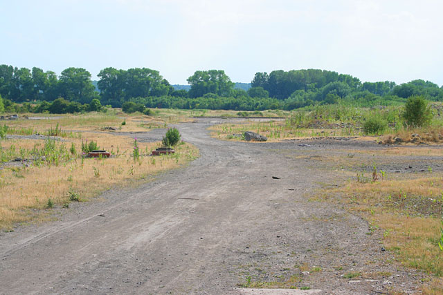
Image: © Kate Jewell Taken: 3 Jul 2006
This colliery closed in 1993 and there is little left on the surface to show what was once here apart from an old railway track (middle distance) and air vent covers (left). A large proportion of the site is being developed into a country park along the Grantham Canal which follows the line of the trees. (See Image) Some of the site has been redeveloped as a light industry estate on Holygate Lane.
Images are licensed for reuse under creativecommons.org/licenses/by-sa/2.0
Image Location
Latitude
52.92193
Longitude
-1.027214