Crossways, High Ridge Wood
Introduction
The photograph on this page of Crossways, High Ridge Wood by Robin Webster as part of the Geograph project.
The Geograph project started in 2005 with the aim of publishing, organising and preserving representative images for every square kilometre of Great Britain, Ireland and the Isle of Man.

There are currently over 7.5m images from over 14,400 individuals and you can help contribute to the project by visiting https://www.geograph.org.uk
Crossways, High Ridge Wood
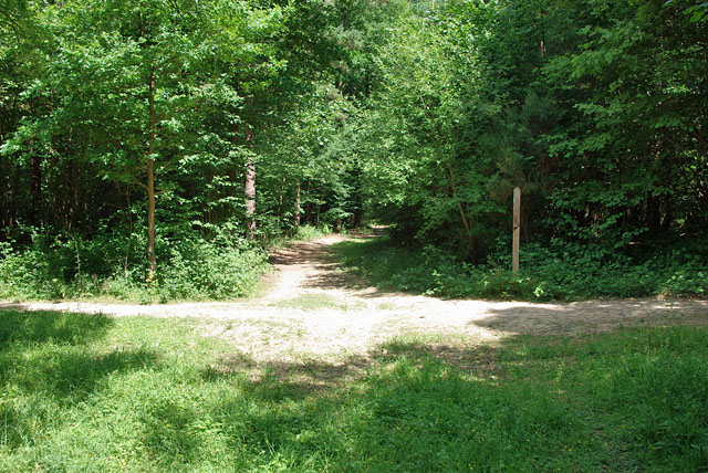
Image: © Robin Webster Taken: 11 Jul 2010
Looking north along the public bridleway, which here intersects a loop path to and from the wood car park. The loop path and the bridleway north are a good deal better used than the bridleway south from this point.
Images are licensed for reuse under creativecommons.org/licenses/by-sa/2.0
Image Location
Latitude
51.214607
Longitude
-0.28702