South House Farm, Maldon.
Introduction
The photograph on this page of South House Farm, Maldon. by Colin Smith as part of the Geograph project.
The Geograph project started in 2005 with the aim of publishing, organising and preserving representative images for every square kilometre of Great Britain, Ireland and the Isle of Man.

There are currently over 7.5m images from over 14,400 individuals and you can help contribute to the project by visiting https://www.geograph.org.uk
South House Farm, Maldon.
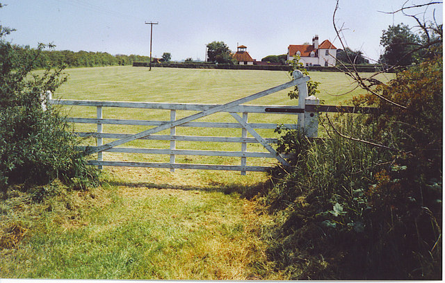
Image: © Colin Smith Taken: 8 Jun 2006
Behind the farm is the site of the Battle of Maldon (991) as marked on OS maps. The battle was probably fought over these fields and up to the hill on which Maldon town is built. The battle was a victory for Viking invaders over the British - Danish soldiers. Behind the farm too is the causeway to Northey Island where the Vikings camped (access permission needed).
Images are licensed for reuse under creativecommons.org/licenses/by-sa/2.0
Image Location
Latitude
51.71728
Longitude
0.695539