Kings Reach Tower
Introduction
The photograph on this page of Kings Reach Tower by Patrick Mackie as part of the Geograph project.
The Geograph project started in 2005 with the aim of publishing, organising and preserving representative images for every square kilometre of Great Britain, Ireland and the Isle of Man.

There are currently over 7.5m images from over 14,400 individuals and you can help contribute to the project by visiting https://www.geograph.org.uk
Kings Reach Tower
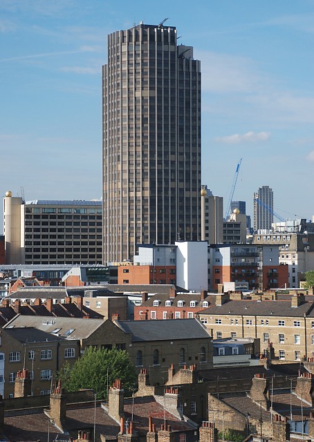
Image: © Patrick Mackie Taken: 8 Jul 2010
Completed in 1978 and now empty, the tower stands 111m high.
Images are licensed for reuse under creativecommons.org/licenses/by-sa/2.0
Image Location


Leaflet Map data © OpenStreetMap
Latitude
51.507596
Longitude
-0.106447