Derby Wing, Worden Hall
Introduction
The photograph on this page of Derby Wing, Worden Hall by Ann Cook as part of the Geograph project.
The Geograph project started in 2005 with the aim of publishing, organising and preserving representative images for every square kilometre of Great Britain, Ireland and the Isle of Man.

There are currently over 7.5m images from over 14,400 individuals and you can help contribute to the project by visiting https://www.geograph.org.uk
Derby Wing, Worden Hall
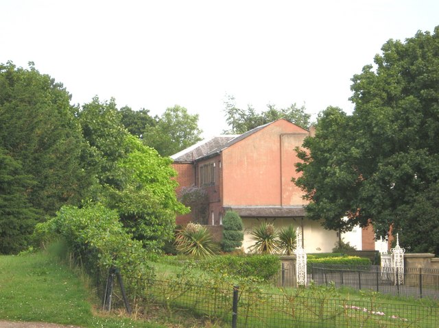
Image: © Ann Cook Taken: 4 Jul 2009
In 1941 Worden Hall was badly damaged by fire. Most was pulled down, leaving the Derby Wing and some outbuildings.
Images are licensed for reuse under creativecommons.org/licenses/by-sa/2.0
Image Location
Latitude
53.681959
Longitude
-2.701859