2010 : Dry Cotswold wall, wet Cotswold valley
Introduction
The photograph on this page of 2010 : Dry Cotswold wall, wet Cotswold valley by Maurice Pullin as part of the Geograph project.
The Geograph project started in 2005 with the aim of publishing, organising and preserving representative images for every square kilometre of Great Britain, Ireland and the Isle of Man.

There are currently over 7.5m images from over 14,400 individuals and you can help contribute to the project by visiting https://www.geograph.org.uk
2010 : Dry Cotswold wall, wet Cotswold valley
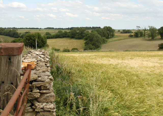
Image: © Maurice Pullin Taken: 9 Jul 2010
A rusty old gate with an old gatepost that looks like a recycled railway sleeper, and a field of ripening barley. A stream at the bottom of the valley is fed by Oxleaze Spring a hundred yards or so behind the camera.
Images are licensed for reuse under creativecommons.org/licenses/by-sa/2.0
Image Location


Leaflet Map data © OpenStreetMap
Latitude
51.467235
Longitude
-2.350058