Pool at Lower Snowdon
Introduction
The photograph on this page of Pool at Lower Snowdon by Richard Law as part of the Geograph project.
The Geograph project started in 2005 with the aim of publishing, organising and preserving representative images for every square kilometre of Great Britain, Ireland and the Isle of Man.

There are currently over 7.5m images from over 14,400 individuals and you can help contribute to the project by visiting https://www.geograph.org.uk
Pool at Lower Snowdon
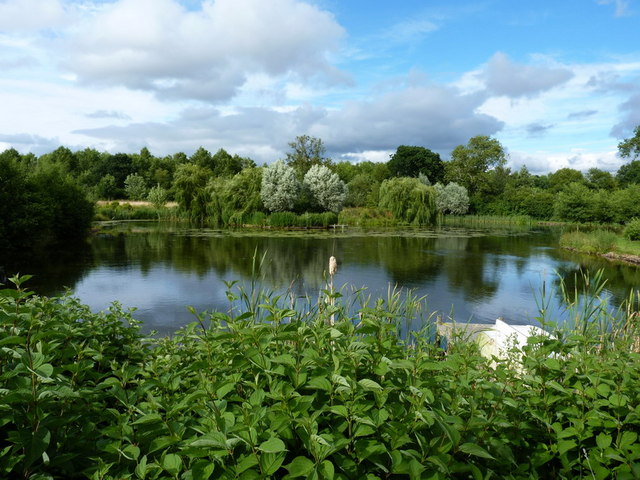
Image: © Richard Law Taken: 9 Jul 2010
This pool was excavated maybe 5 or 6 years ago, and at the time the surrounding fields looked like they'd never recover from the earthmoving. Not so - it now blends in very nicely, and has been planted about with small copses of native trees.
Images are licensed for reuse under creativecommons.org/licenses/by-sa/2.0
Image Location
Latitude
52.604717
Longitude
-2.325102