Top of Surgeys Lane
Introduction
The photograph on this page of Top of Surgeys Lane by Alan Murray-Rust as part of the Geograph project.
The Geograph project started in 2005 with the aim of publishing, organising and preserving representative images for every square kilometre of Great Britain, Ireland and the Isle of Man.

There are currently over 7.5m images from over 14,400 individuals and you can help contribute to the project by visiting https://www.geograph.org.uk
Top of Surgeys Lane
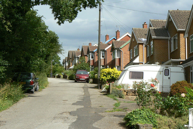
Image: © Alan Murray-Rust Taken: 6 Jul 2010
Despite the modern housing, this section of the lane still shows its heritage as a rural bridleway.
Images are licensed for reuse under creativecommons.org/licenses/by-sa/2.0
Image Location
Latitude
53.014574
Longitude
-1.11427