Calverton Road Storage Area
Introduction
The photograph on this page of Calverton Road Storage Area by Alan Murray-Rust as part of the Geograph project.
The Geograph project started in 2005 with the aim of publishing, organising and preserving representative images for every square kilometre of Great Britain, Ireland and the Isle of Man.

There are currently over 7.5m images from over 14,400 individuals and you can help contribute to the project by visiting https://www.geograph.org.uk
Calverton Road Storage Area
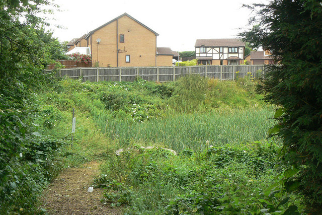
Image: © Alan Murray-Rust Taken: 6 Jul 2010
The notice on the gate originally refers to Gedling Borough Council but has been overlaid by Severn Trent Water stickers. This is clearly a storm water catchment pond to prevent flooding in times of heavy rainfall.
Images are licensed for reuse under creativecommons.org/licenses/by-sa/2.0
Image Location
Latitude
53.013456
Longitude
-1.121149