Lane at Red Hill
Introduction
The photograph on this page of Lane at Red Hill by Alan Murray-Rust as part of the Geograph project.
The Geograph project started in 2005 with the aim of publishing, organising and preserving representative images for every square kilometre of Great Britain, Ireland and the Isle of Man.

There are currently over 7.5m images from over 14,400 individuals and you can help contribute to the project by visiting https://www.geograph.org.uk
Lane at Red Hill
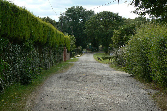
Image: © Alan Murray-Rust Taken: 6 Jul 2010
This is the farm access lane which required the creation of a bridge across the Mansfield Road cutting. The distant metal gates are the entrance to the reservoir, the construction traffic to which caused the first bridge over red Hill Cutting to collapse. (See http://www.geograph.org.uk/photo/1952990 )
Images are licensed for reuse under creativecommons.org/licenses/by-sa/2.0
Image Location
Latitude
53.017406
Longitude
-1.132697