Lane to Goosedale Farm
Introduction
The photograph on this page of Lane to Goosedale Farm by Alan Murray-Rust as part of the Geograph project.
The Geograph project started in 2005 with the aim of publishing, organising and preserving representative images for every square kilometre of Great Britain, Ireland and the Isle of Man.

There are currently over 7.5m images from over 14,400 individuals and you can help contribute to the project by visiting https://www.geograph.org.uk
Lane to Goosedale Farm
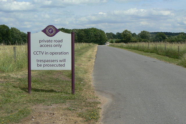
Image: © Alan Murray-Rust Taken: 6 Jul 2010
Despite the notice, this is a public right of way on foot and is indeed part of the Robin Hood Way.
Images are licensed for reuse under creativecommons.org/licenses/by-sa/2.0
Image Location
Latitude
53.036503
Longitude
-1.176159